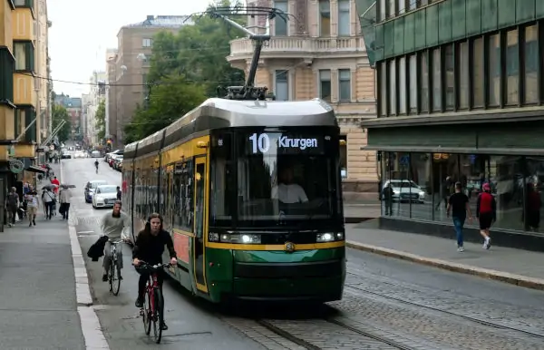
According to Julie's Bicycle -a leading organization in the sustainability in the arts space- "Audience travel accounts for the largest portion of the carbon footprint of any event or venue"1. Encouraging Public transportation use is therefore an important element of any event’s sustainability plan. A factor in  encouraging public transportation use is the proximity of your event’s entrances to bus stops and subway and train station exits. EventMapStudio provides an easy way to achieve this through the combination of two of its Event Intelligence wizards:
- The Transit Locator
- The Spatial Analysis Wizard
Here are the five easy steps to achieve this:
- Place the center of your event location at the center of your screen
- Go to the Event Intelligence palette and click on the Locate Public Transit button
- Select which public transit stations you want to insert on your map
- In the Spatial Analysis wizards elect the Mass Transit item and set the radius to the maximum distance you want your entrances to be from public transportation
- The circles on the map show you where you can place your event entrances so they are easily accessible by the public
You also want to make your event map available on your web site so event-goers can see how accessible your event is and can actually decide to use public transportation.
